Browse

···
Log in / Register
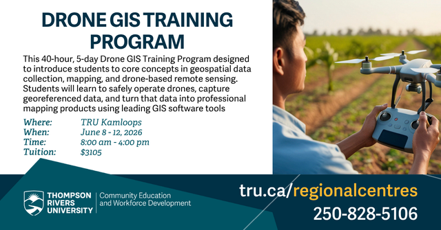
This 40-hour, 5-day Drone GIS Training Program designed to introduce students to core concepts in geospatial data collection, mapping, and drone-based remote sensing. This immersive course blends classroom instruction, hands-on computer lab training, and field-based drone operations. Students will learn to safely operate drones, capture georeferenced data, and turn that data into professional mapping products using leading GIS software tools. Details Applicants must be at least 16 years old, hold a basic or advanced license, be comfortable using computers and managing digital files, be able to participate in outdoor field work, including drone flights, and follow safety guidelines and Transport Canada rules during drone operations Course format June 8 - 12, 2026 Monday to Friday 8 am - 5 pm Locations Kamloops Tuition $3150 Register here! https://www.tru.ca/regionalcentres/register.html